
Home

Drone Services
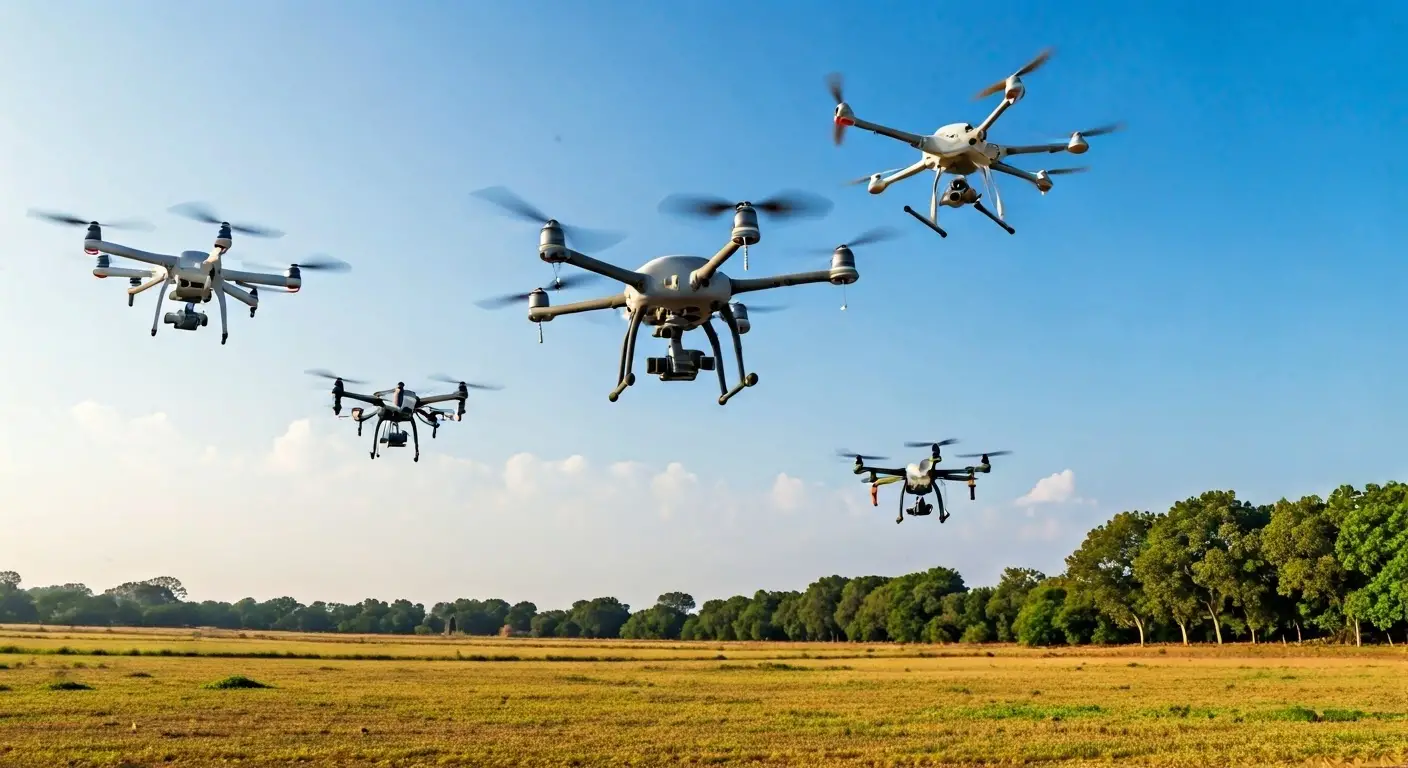
Drone Services
Utilizing drones for comprehensive aerial surveys and inspections.
Our Drone Services leverage the latest UAV technology to conduct aerial surveys and inspections. We offer high-resolution imagery and data collection that enhances project efficiency and accuracy. Our skilled drone pilots ensure safety and compliance while delivering reliable results for various applications, from construction monitoring to agricultural assessments. Trust us to elevate your projects with superior aerial intelligence.

High-resolution imagery
Efficient data collection
Safe and compliant operations

Popular
Drone Aerial Imaging Services
Our drone aerial imaging services offer precision and clarity, ensuring exceptional results tailored to your project needs.
State-of-the-art drones
Customizable imaging solutions
Experienced certified pilots
Popular
Drone Surveying
Our drone surveying services leverage cutting-edge technology to provide accurate and efficient data collection tailored to your project needs.
Real-time data analysis
Cost-effective solutions
Expert team support
3D Mapping Services
Our 3D Mapping Services provide accurate and detailed visualizations, tailored to meet the specific needs of your project, ensuring high-quality results every time.
Advanced drone technology
Real-time data collection
Customized mapping solutions
Drone Data Collection Services
Our Drone Data Collection Services ensure precise data acquisition tailored to your project needs, utilizing the latest technology and expertise for reliable outcomes.
High-resolution imaging
Rapid data acquisition
Customized reporting options
Get a Free Consultation
Fill out the form to connect with our experts and explore tailored solutions for your geospatial and technology needs.