Home

Geospatial Services
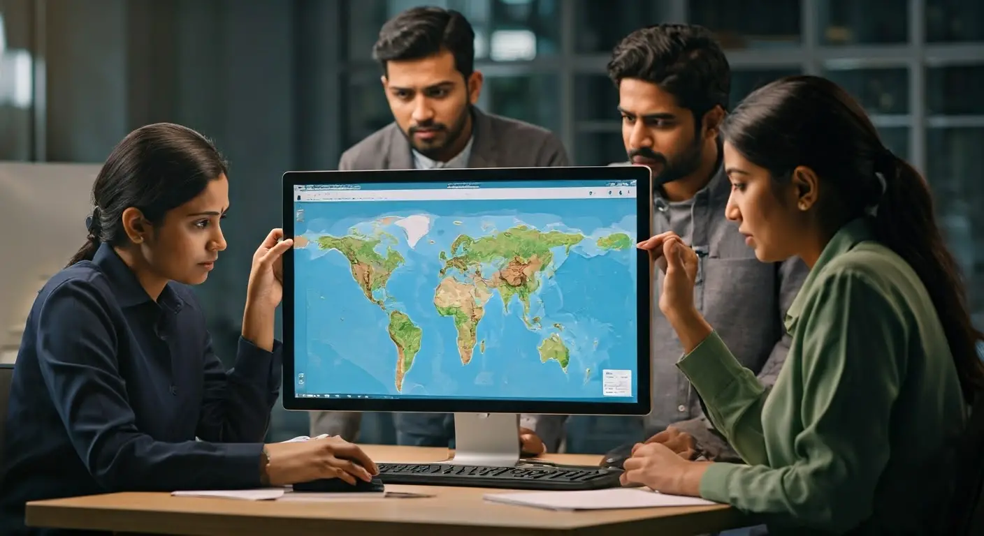
Imagery Analysis
Imagery Analysis
Explore our tailored geospatial analysis services.
Our Imagery Analysis service provides precise insights using advanced geospatial techniques, ensuring quality and tailored solutions for your projects.

Precision in data analysis
Tailored for diverse industries
Innovative technology use


Our Imagery Analysis Process
Data Collection
We gather high-quality imagery data tailored to your project requirements, ensuring accuracy and relevance.
Data Processing
Utilizing advanced software, we process the collected imagery for detailed analysis and interpretation.
Analysis Techniques
Our experts apply sophisticated analysis techniques to derive actionable insights from the processed data.
Reporting
We provide comprehensive reports that summarize findings and support data-driven decisions.
Client Feedback
We incorporate client feedback to refine our analysis and ensure alignment with project goals.
Implementation Support
Our team assists in implementing findings, transforming insights into tangible outcomes.
Benefits of Our Services
Enhanced decision-making
Industry-specific applications
Advanced technology
Our Expertise in Geospatial Services
Diverse skill set
Innovative methodologies
Client-centric approach
Get a Free Consultation
Fill out the form to connect with our experts and explore tailored solutions for your geospatial and technology needs.