
Home

Drone Services
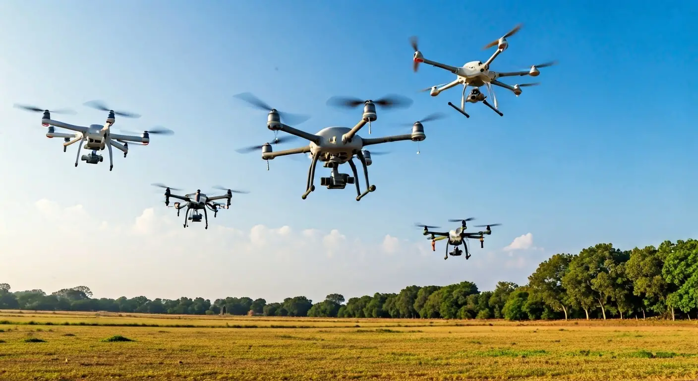
Drone Aerial Imaging Services
Drone Aerial Imaging Services
Explore tailored solutions with our expert team.
Our drone aerial imaging services offer precision and clarity, ensuring exceptional results tailored to your project needs.

State-of-the-art drones
Customizable imaging solutions
Experienced certified pilots


Our Aerial Imaging Process
Initial Consultation
Discuss project requirements and objectives to tailor our services to your needs.
Site Survey
Conduct a preliminary site assessment to plan the imaging flight path and ensure safety.
Flight Planning
Develop a detailed flight plan, including altitude, angles, and areas of interest.
Aerial Imaging Execution
Execute the flight plan using advanced drones to capture high-resolution images.
Data Processing
Process and analyze the captured imagery for clarity and actionable insights.
Delivery of Results
Provide final high-resolution images along with a comprehensive analysis report.
Why Choose Our Drone Services?
Cutting-edge technology
Tailored services
Experienced team
Applications of Aerial Imaging
Construction Monitoring
Environmental Surveys
Real Estate Marketing
Get a Free Consultation
Fill out the form to connect with our experts and explore tailored solutions for your geospatial and technology needs.