
Home

Drone Services
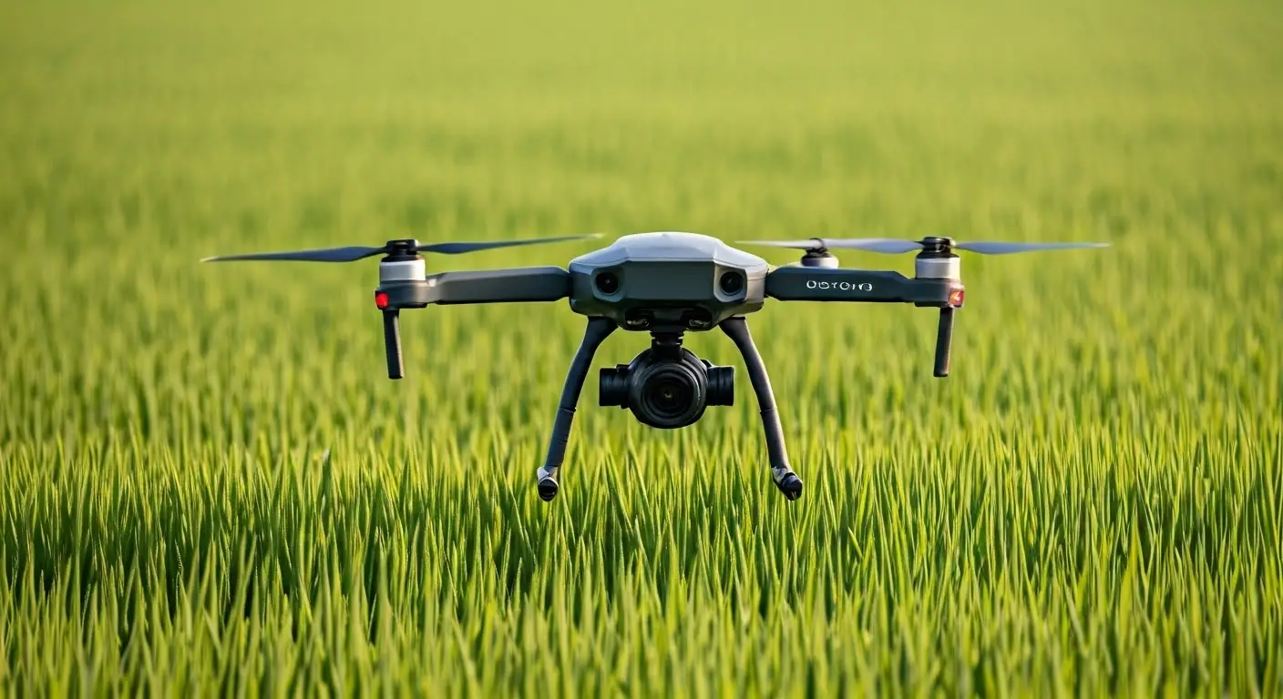
Drone Surveying
Drone Surveying
Explore our tailored drone surveying solutions for precise data collection.
Our drone surveying services leverage cutting-edge technology to provide accurate and efficient data collection tailored to your project needs.

Real-time data analysis
Cost-effective solutions
Expert team support

Our Drone Surveying Process
Initial Consultation
We discuss project requirements and objectives to tailor our approach.
Site Assessment
Our experts perform a thorough site evaluation to plan the survey.
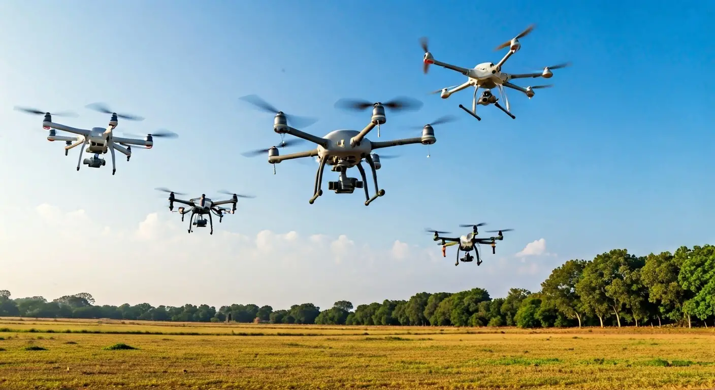
Drone Deployment
Drones are deployed to capture high-resolution imagery and data.
Data Processing
Collected data is processed to generate accurate maps and models.
Review and Analysis
Our team analyzes the data, ensuring all project specifications are met.
Final Delivery
We deliver comprehensive reports and visualizations for your project.
Why Choose Our Drone Services?
Experienced Professionals
State-of-the-art Equipment
Comprehensive Reporting
Our Commitment to Quality
Safety First
Data Security
Client-Centric Approach
Get a Free Consultation
Fill out the form to connect with our experts and explore tailored solutions for your geospatial and technology needs.