


Home

Drone Services
3D Mapping Services
3D Mapping Services
Explore tailored solutions for precise mapping.
Our 3D Mapping Services provide accurate and detailed visualizations, tailored to meet the specific needs of your project, ensuring high-quality results every time.

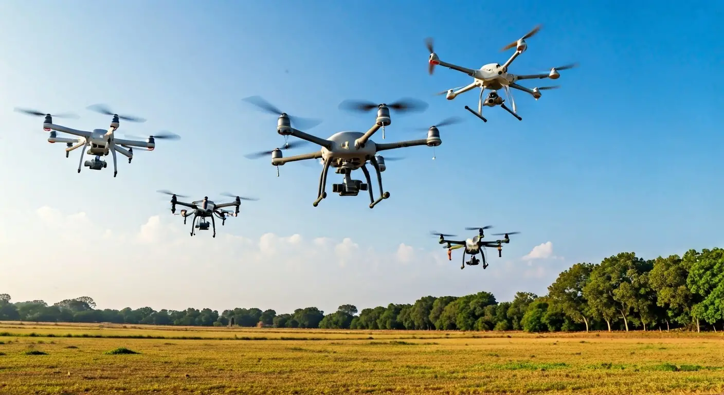
Advanced drone technology
Real-time data collection
Customized mapping solutions

Our 3D Mapping Process
Initial Consultation
We discuss your project needs and mapping requirements.
Site Assessment
Our team conducts a thorough site analysis to ensure accurate mapping.
Data Collection
Utilizing drones for high-resolution imagery and data acquisition.
Data Processing
Our experts process the collected data to create detailed 3D models.
Review and Feedback
We present the 3D model for your review and incorporate feedback.
Final Delivery
Delivering the finalized 3D mapping results in your preferred format.
Benefits of 3D Mapping
Enhanced Visualization
Improved Decision Making
Cost-Effective Solutions
Our Technology Stack
High-Performance Drones
GIS Software
LiDAR Technology
Get a Free Consultation
Fill out the form to connect with our experts and explore tailored solutions for your geospatial and technology needs.
