
Home

Drone Services
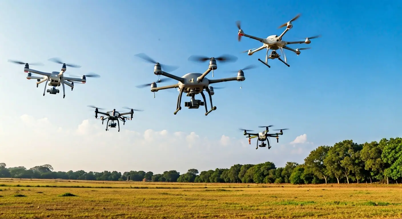
Drone Data Collection Services
Drone Data Collection Services
Explore tailored drone solutions for precise data collection.
Our Drone Data Collection Services ensure precise data acquisition tailored to your project needs, utilizing the latest technology and expertise for reliable outcomes.

High-resolution imaging
Rapid data acquisition
Customized reporting options


Our Drone Data Collection Process
Initial Consultation
We discuss your project needs and outline the objectives to ensure clarity.
Site Assessment
Evaluate the site to determine the best approach for data collection.
Flight Planning
Create a detailed flight plan tailored to the specific requirements of your project.
Data Capture
Utilize advanced drones to capture high-quality images and data efficiently.
Data Processing
Process and analyze the collected data to extract valuable insights.
Reporting
Deliver customized reports based on your specifications, highlighting key findings.
Technology & Innovation
State-of-the-art drones
Advanced imaging techniques
Real-time data access
Client-Centric Approach
Tailored solutions
Expert consultation
Ongoing support
Get a Free Consultation
Fill out the form to connect with our experts and explore tailored solutions for your geospatial and technology needs.